
Texas, home to two of the nation’s busiest oilfields, now has a new way for the public to track in real time how many earthquakes are rattling the Lone Star State since the expanded use of new drilling techniques.
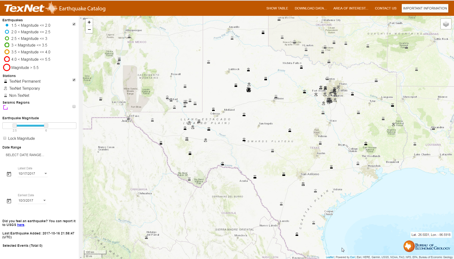
TexNet, which the University of Texas said is the nation’s most advanced state-run seismic monitoring system, includes 22 permanent monitoring stations and another 40 that are portable. The system was formed in 2015 thanks to $4.47 million in state funding.
The Permian Basin in west Texas and New Mexico and the Eagle Ford Shale in South Texas continue to see some of the nation’s strongest drilling activity. Those regions, along with the Dallas-Fort Worth area, have all seen an increase in earthquakes, according to a statement earlier this month from the University of Texas at Austin’s Bureau of Economic Geology.
“Small earthquake events have become more common in Texas recently,” Scott Tinker, director of the bureau, said in the statement. “We are now positioned to learn more about them and, hopefully, to understand how to mitigate their impacts in the future.”
The UT Bureau of Economic Geology press release about this is here, and the official TexNet webpage, at which you can get all the data, is here. It would be nice to live in a world where this wasn’t needed, but it is so you may as well be aware of it. Texas Monthly has more.